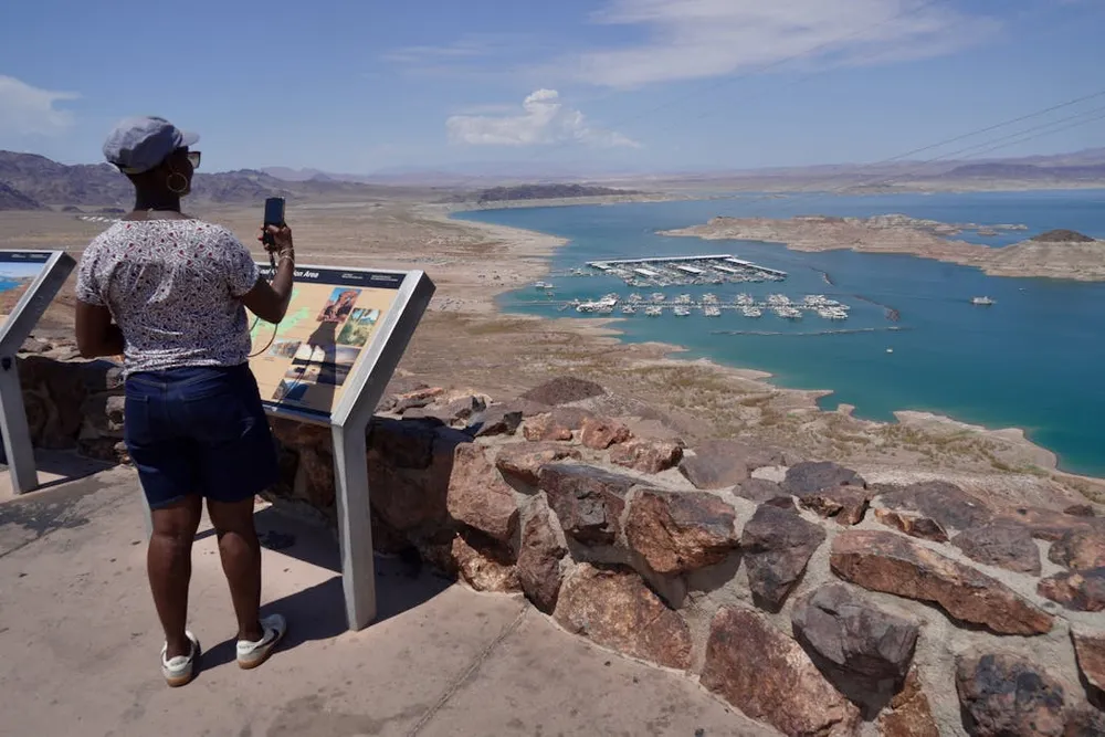
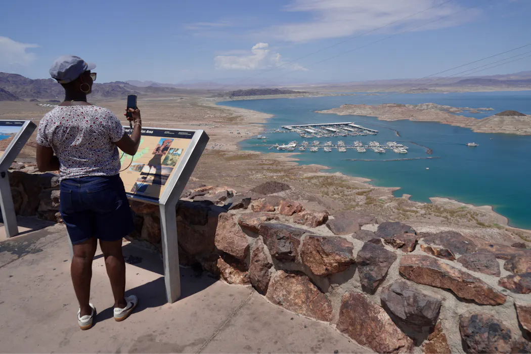
In August 2026 the nation’s two largest reservoirs, Lake Mead and Lake Powell, both on the Colorado River, hit their lowest levels since they first began to be filled in 1936 and 1963, respectively.
The federal government and the seven Colorado River basin states – Arizona, California, Colorado, Nevada, New Mexico, Utah and Wyoming – have been unable to reach an agreement about who should reduce water usage by how much to avoid catastrophic declines in lake levels.
And the existing plans and commitments, including a federal outline announced in late July 2026, don’t get close to achieving what’s needed to keep the river flowing. Here’s a look at the key issues making an agreement so hard to reach.
Big cuts are needed
To stabilize the Colorado River system, seven states and Mexico need to reduce annual consumption of Colorado River water by at least 3 million acre-feet (980 million gallons), and probably more like 4 million acre-feet (1.3 trillion gallons), each year.
The Lower Basin states – Arizona, California and Nevada – have been using less water, even as their populations have grown.
They have proposed to further reduce water use in 2027 and 2028, and Mexico has, too. Those decreases, coming only from the Lower Basin states, would be the biggest-ever reductions of Colorado River water use, but they would amount to only about 3.7 million acre-feet over two years, about half what is likely needed.
Unless more water is conserved, the reservoirs that have stored surplus water over the decades could shrink to the point that only the water that naturally flows into the river each year would be released downstream. That’s a condition called “run of river,” which could result in drastic cuts to the Lower Basin’s water supply.
If the winter of 2026-27 is like the winter the West had in 2025-26, the river and reservoirs will likely be at that point by mid-2027. A really good winter with lots of snow might push the timing out a year or two, but it won’t solve the problem: People are using a lot more water from the reservoirs than nature is replenishing each year with rainfall and snowfall.
Why is there so little water?
Water was first divided among the Upper and Lower Basins in 1922, using an overoptimistic estimate of how much water there would be. In the past quarter century, low snowpack and reductions in the amount of snow that converts to surface water have meant that flows can’t keep up with demand.
The other key problem is evaporation. These massive reservoirs are in a hot, dry region. The U.S. Geological Survey estimates that annual evaporation is about 1.5 million acre-feet. That’s about 10% of what the seven states expect to be able to use each year – and about half of the overall cuts in water use that would be needed to keep the river flowing.
Even if sufficient water were released from Lake Powell to Lake Mead to cover the Lower Basin’s and Mexico’s apportionments, Lake Mead would continue to decline because of evaporation.
What would deep cuts mean for people?
Farmers and ranchers in the Upper Basin have had less water available in 2026 because the winter was extraordinarily dry.
But if water levels at Lake Powell and Lake Mead fall too low to allow dam managers to release stored water, the effects would be on the Lower Basin.
Entities that receive water from the Central Arizona Project have junior priority in the Lower Basin. Central Arizona cities have years’ worth of groundwater they could access – not a forever supply, but enough to use for some years while they work on developing new water supplies.
If cuts go deeper, tribal and nontribal agriculture along the main stem would arguably take the hardest hit. They may have higher-priority rights, but if there’s no water they’re still in trouble. And there isn’t an alternative water supply for agriculture along the river’s main route.
Across the nation, people would notice higher costs and limited availability of some produce, especially in the winter. At times of year when those crops can’t grow in colder parts of the country, Yuma County, Arizona, and Imperial County, California, are key suppliers of vegetables. Other products would be affected too, including Desert durum wheat, a high-gluten wheat that is preferred for pasta.
What would those cuts mean for electricity?
The federal Bureau of Reclamation has made clear its commitment to continuing hydropower production by keeping reservoir elevations above the minimum level needed to generate electricity.
As a result, the reservoirs will likely not reach the point called “deadpool,” at which no water can move through the dam. But they may reach levels at which no water beyond what’s required to generate power – or what arrives as rain or snow – would flow downstream.
What are the states’ positions?
The Lower Basin states have said they would reduce water use by 1.6 million acre-feet a year, effectively handling the reduction due to evaporation. But the Lower Basin has remained insistent on the Upper Basin states’ sharing in additional conservation measures.
The Upper Basin states say they’re already using much less water than they are apportioned under the Colorado River Compact and that the shortfall is due to overuse in the Lower Basin.
Without a negotiated way forward, there are two potential legal fights on the horizon, which could happen at the same time.
One is a Supreme Court fight over how to interpret the Colorado River Compact. It tends to take about a decade to resolve interstate water-sharing fights in the Supreme Court. If that happens, the region will face years of uncertainty regarding the amount of water available to different users.
At the same time, negotiators, tribes and others in the Lower Basin have made clear that they don’t agree with the approach to the crisis the Bureau of Reclamation announced in late July 2026. The specifics of how that plan will be carried out have not yet been released, but Arizona and Nevada have already threatened to sue.

What’s required to achieve the water-use cuts that are needed?
Agriculture uses somewhere between 70% and 75% of the water in the Colorado system.
The reductions needed to protect the system can’t be achieved by getting people in Phoenix and other cities to turn the water off when they brush their teeth. Even if people ripped out all the grass that’s watered with Colorado River water, it wouldn’t save enough.
Ideally, farmers would be encouraged – and even paid – to permanently stop irrigating some land. My colleague Kathryn Sorensen and I have called for people to start talking about how to permanently eliminate some agricultural water demand across the entire Colorado River basin. The scope of the problem is too large: There’s no other way to balance the system.
I think it’s going to require federal leadership. In the 1930s a national effort set out to improve farming efficiency all around the nation, but especially in the South and West. Under the Bankhead-Jones Act of 1937, the federal government bought millions of acres of marginal farmland to take it out of production.
Farming is important, but not every acre of farmland should stay in production. If it’s a choice between making sure some water goes to cities or keeping every possible acre of farmland irrigated, we have to be able to discuss both options.

In the past, Sarah Porter's organization has received funding from Walton Family Foundation. In addition, Sarah serves as a volunteer appointee of Arizona Gov. Katie Hobbs's Water Council.
By Sarah Porter, Director of the Kyl Center for Water Policy, ASU Morrison Institute for Public Policy, Arizona State University. This article is republished from The Conversation under a Creative Commons license. Read the original article.